History - 1940 Aerial Photograph

| Hartley-Kent History - 1940 Aerial Photograph |
|
 Reproduced by permission of the National Archives and Records Administration |
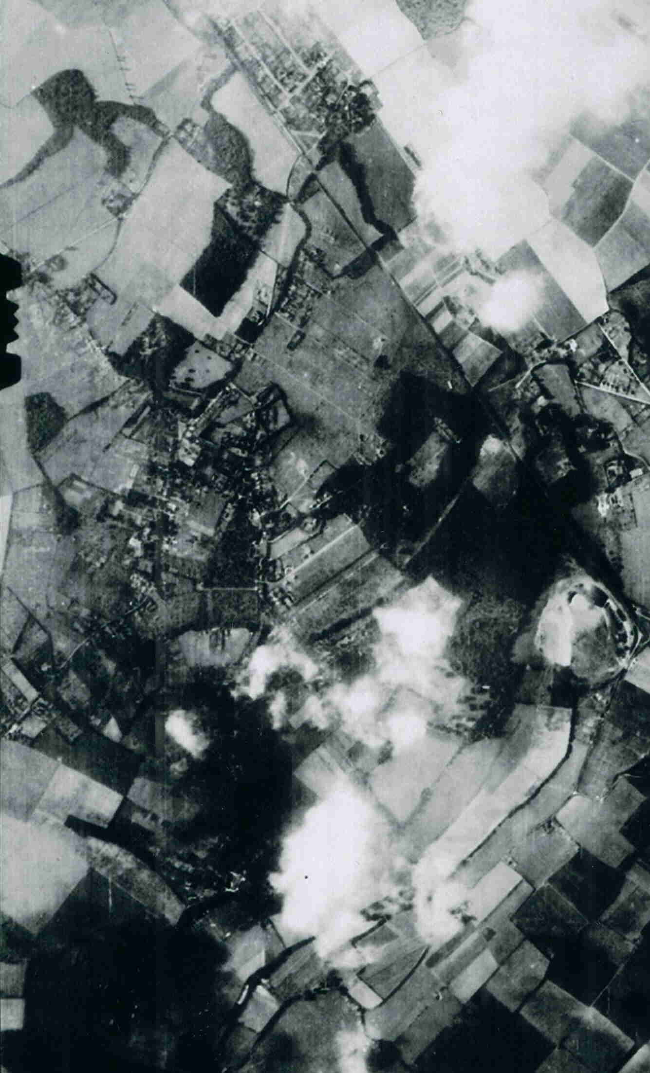
This photograph was taken by
the German airforce in August 1940. Their aerial
reconnaissance collection was captured by the Americans
after the war and is now held in the National Archives
and Records Administration in Washington DC. At the top middle of the photo is Longfield - the parallel lines of the railway, Kent and Essex Roads being clear. At the bottom of Hoselands Hill, the railway bisects the original Hottsfield. Hartley is hardly developed at all until you get to Church Road. The outlines of Wellfield etc can be seen but only a handful of houses had been built there. Gorsewood was still largely complete, and at its southern point the house Johns can be clearly seen. The centre of the village is well developed, but St Johns Lane only has 2 houses. To the south of it, Hartley Grange stands out. The south of Hartley is largely obscured by the cloud cover, but the Black Lion can be seen on the left hand edge and beneath it is Northfield, then divided into several fields |