|
|
Gallery |
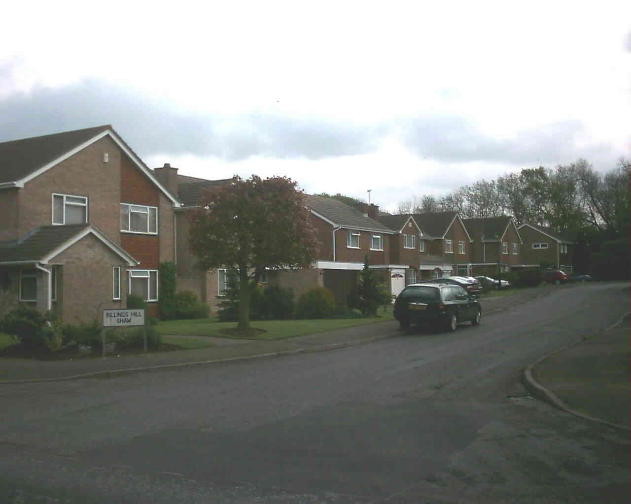
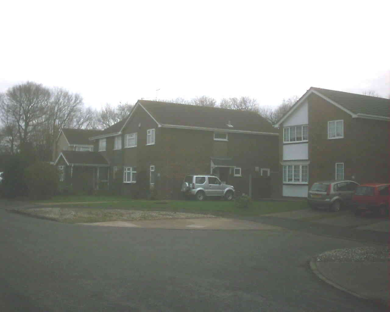
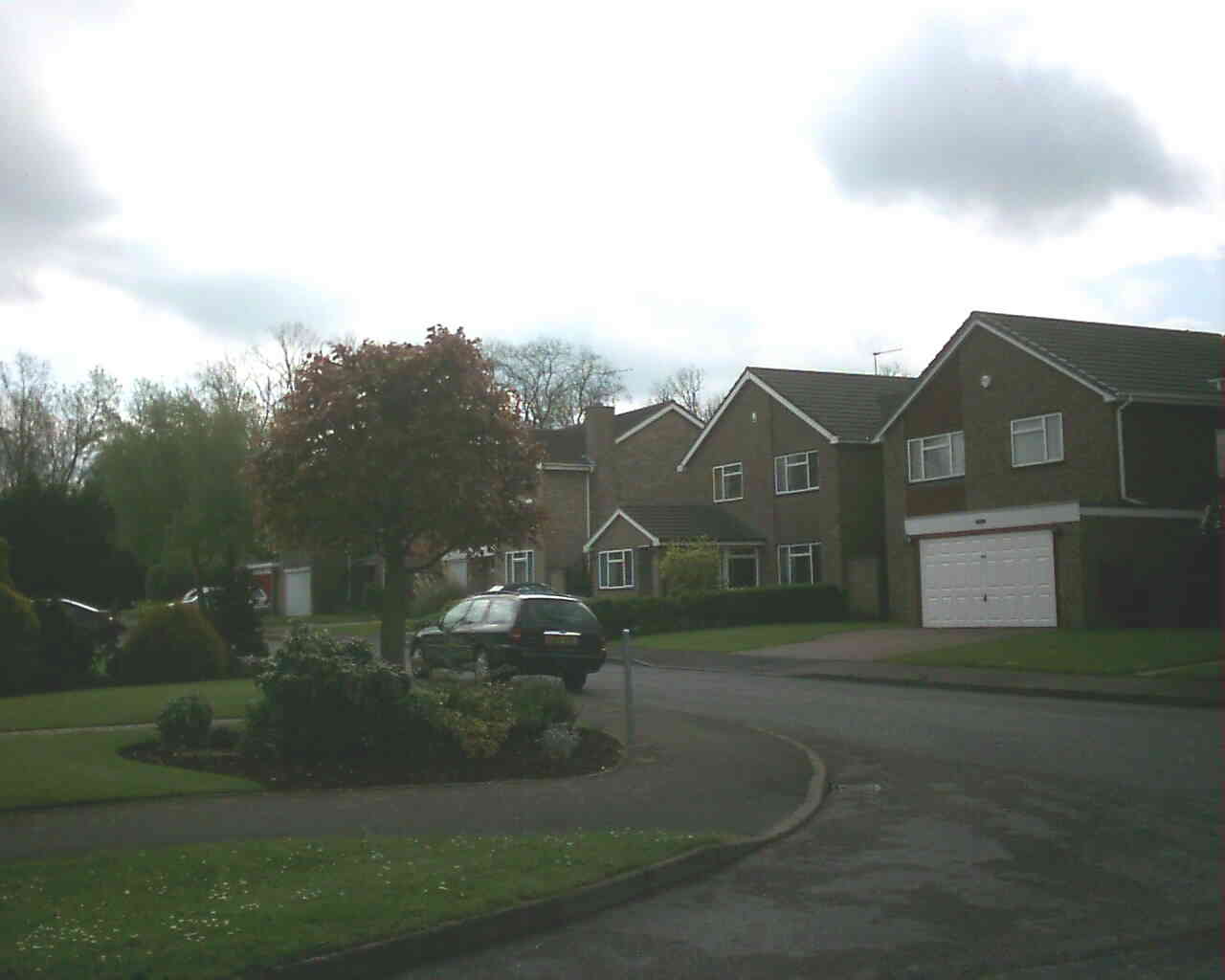
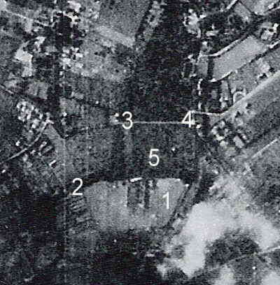
Billings Hill Shaw is one of Hartley's newest roads, being built in 1977 by George Wimpey and Co Ltd. The estate consists of 47 detached houses (1-43 odd and 2-50 even). There is also Hartley Grange Cottage, which was built about 1946. It is named after the strip of woodland to the south, which marks the ancient boundary between Hartley Court to the south and Middle Farm and Fairby to the north. The name is of some antiquity, but of unknown origin. When Smallowners Limited bought most of Hartley, they parcelled the land into smallholdings, with the land here becoming part of Hartley Grange, Church Road (originally called "Hill Shaw"). The German aerial photo below shows the house in 1940.
After the war the site was earmarked as the site for the new primary school, but this was abandoned when the site in Round Ash Way was offered. From 1971 Kent County Council wanted the land to be used for recreation, but the Parish Council wanted to develop Manor Field instead. However the Parish Council bought the 3 acre Billings Hill Shaw open space for £2,205 in 1976, with the proviso that if they no longer wanted it then it would have to be sold as farm land. The council also agreed to maintain the 1 acre amenity land within the estate itself, which was part of the planning conditions. The parish council were none too pleased at the time of the purchase, to also aquire Hartley Grange Cottage with a sitting tenant, however its eventual sale in the 1990s provided a considerable cash windfall for the council. In 1986 the then tenant wanted to buy the house, but was told the council might want it eventually for an employee and was exempt from the right to buy legislation. The rent of £85 per month in 1982 had risen to £173.33 in 1990 - a rate set by the Rent Officer. Links
|