
From
opposite the school

Ash
Road end

Conifer
Avenue junction
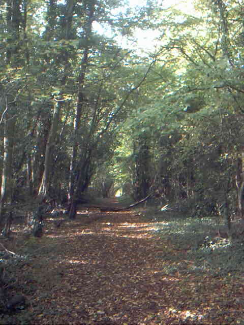
Woodland
at end of road
|
Postcode Council Tax KCC Road Number: Housing density |
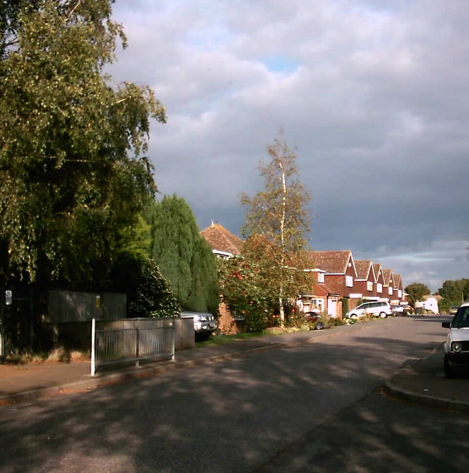
Fairby Lane is like Gorse Way, a part
adopted, part unadopted road. From Ash Road to the junction
with Conifer Avenue is unadopted with sleeping policemen, the next
segment to the T junction just beyond Chantry Avnue is adopted,
with the remainder being another private road. None of the
road was adopted in 1964 when locals complained about the damage
to the surface done by laying sewers and construction traffic for
the primary school at the end of the road. The owners
did win a court case in the 1970s which would have meant the county
would have had to adopt the whole road, but this was overturned
by a higher court (basically the lower court said it believed the
road existed in 1835, which would have meant the county would have
to maintain it. It was not marked on the tithe map of 1844,
but often roads were not).
The junction with Ash Road has been an issue for nearly 50 years. Recently the residents of the Ash Road end of the Fairby Lane have petitioned KCC to be allowed to block access to the junction there with limited sight lines, but KCC will not do so because it is not adopted (reference). This is much the same reply as they made in 1958 (Tate, page 104).
Originally the houses were named, but in 1975 the majority (but not all) of the road was numbered.
The 48 houses and bungalows in Fairby Lane are varied in design and date, although over half are modern. On the 1936 Ordnance Survey map, most of the properties at the western end were already there, as well as "The Stoep" and "Tree Tops". The remainder are of post war construction. Some old houses with larger gardens have gone to make way for many more new houses.
Fairby Lane runs between a number of fields that all belonged to Fairby Farm.
One unsung landmark in the history of Hartley lies almost unseen at the junction with Ash Road - the Electricity Substation, Hartley's first. Originally it was planned to bring electricity to this point by overhead wires from Pennis Farm, Fawkham, but as landowner permission was not forthcoming the cables were brought underground from Longfield instead. The Dartford Chronicle (19.8.1932) stated that the substation was switched on on the 18th - "There was no ceremony to usher in the transition from the Middle Ages to modernity." For the early pioneers of electricity it did not come cheap, the Dartford Chronicle (4.9.1931) claimed the 3/- installation fee per foot would deter many.