|
|
Gallery
|
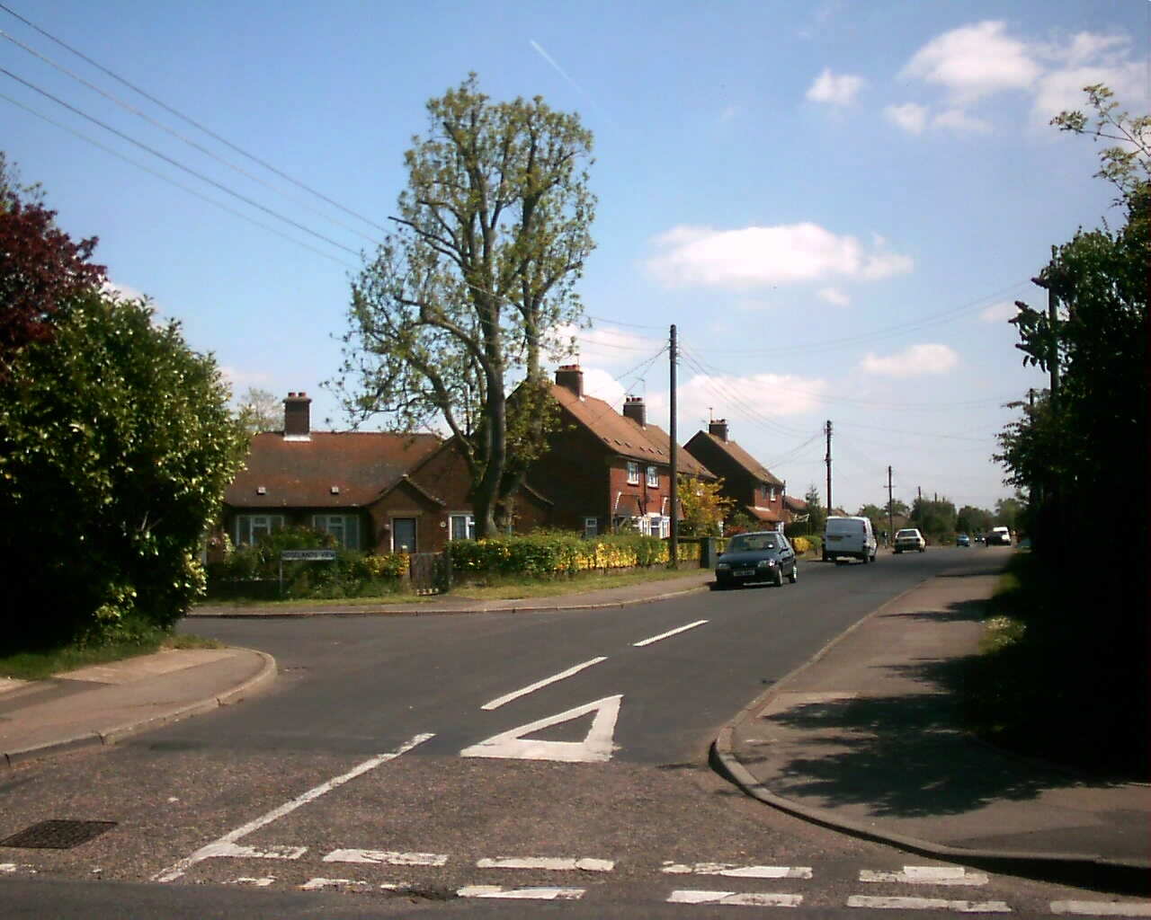
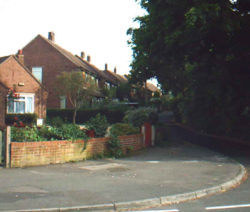
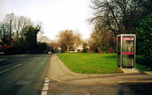
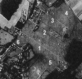
KCC Road Numbers: Hoselands View is a short road linking Wellfield and Larksfield, consisting of 5 pairs of semi-detached houses and 2 pairs of semi-detached bungalows. The houses have an attractive aspect, as they overlook the tree lined Hoselands Green, hence the road's name. We understand the road is not adopted, but is owned by the West Kent Housing Association. The green is owned by Sevenoaks District Council. Originally they were all council houses, but only about a quarter are so now. It was built in 1950 by Dartford Rural District Council on land that had been part of the Payne and Trapps Estate. The 14 houses of Hoselands View, with 12 in Wellfield and Larksfield cost the council £29,722 to build. Along the back Larkwell Lane was constructed to provide access to the garages for the houses. In Larkwell Lane is also the headquarters of the Longfield and Hartley Scout Group. It is held on lease from Sevenoaks Council and both the lease and planning conditions currently limit the use to the Scouts only. Hoselands was part of a large field purchased and laid out in building plots by Payne and Trapps Co Limited in 1907 (for further details see the article on Payne and Trapps, and a map of Larksfield in 1907). Originally it was envisaged that shops be built here, later the Ordnance map of 1936 marks the area as a 'Playing field', but there is little evidence of this on the German reconnaisance photograph of 1940 below (Larksfield is numbered 1, and Wellfield 2 - the house that can be seen in Wellfield is Colyton, number 18).
Links
|
