Click Here for Site Index 

Roads of Hartley - Larksfield (DA3 7EH - north, DA3 7EJ - south)

Larksfield, Hartley - Ash Road entrance

Larksfield, Hartley - from junction with Gresham Avenue

Larksfield, Hartley - junction with Gresham Avenue

Larksfield, Hartley - junction with Woodland Avenue

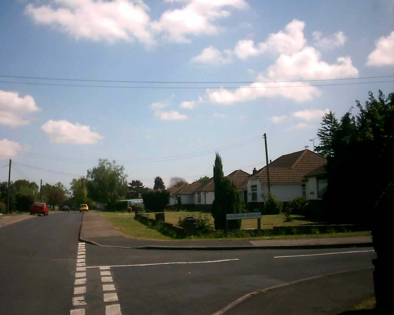
From Ash Road entrance

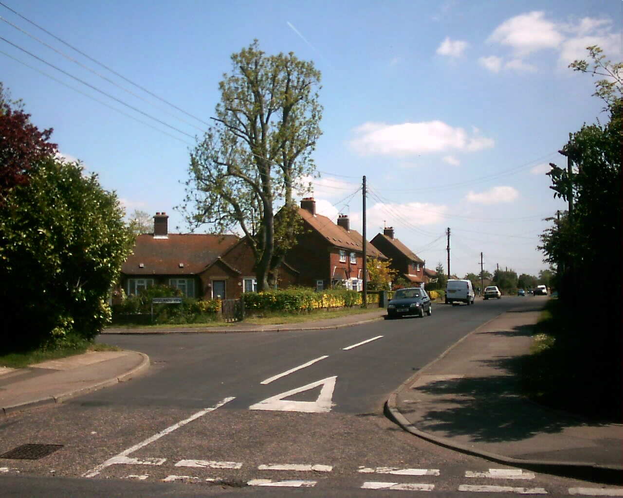
Looking towards Ash Road

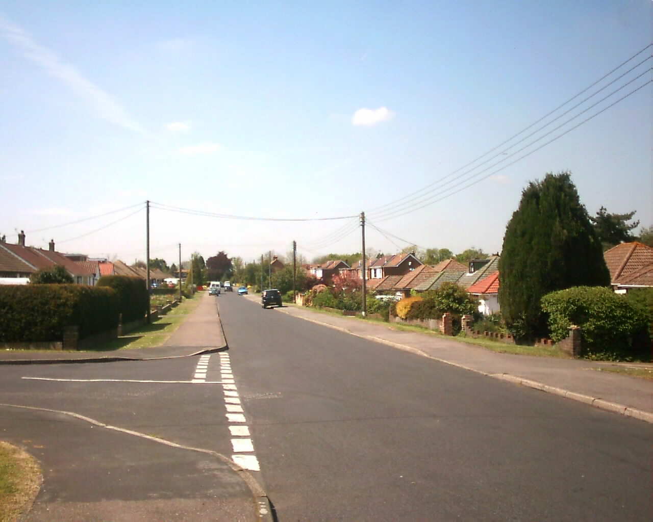
Looking towards Woodland Ave
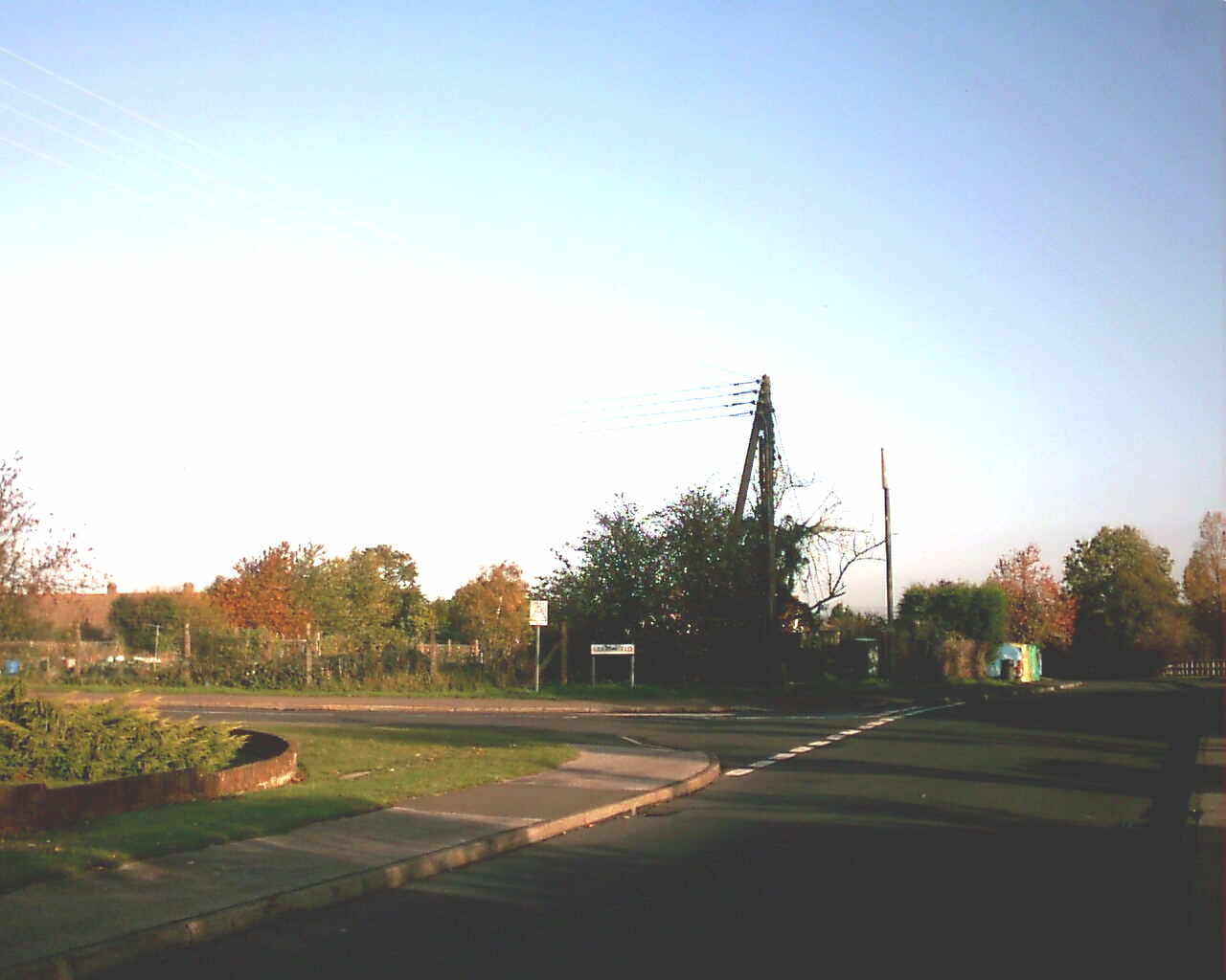
Allotments


View Larger Map 

Facts about Larksfield

Date of Road

1907

Postcode

DA3 7EH (north)
DA3 7EJ (south)

Housing

60 houses and bungalows

Council Tax

1 x Band C
4 x Band D
36 x Band E
19 x Band F

KCC Road No.

U12497 (460m / 0.29 miles)

Housing Density

6.6 / acre (16.2 / hectare)

Average House Price (06/07)

£315,000 (4 sales)

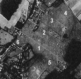
Larksfield is a pleasant road of mainly detached and semi-detached bungalows, but also some houses.  The vast majority are in private ownership, but a few are owned by a housing association.

The road Larksfield existed for about half a century before any houses were built upon it, as this aerial reconnaisance photgraph taken by the Germans in 1940 shows.  Larksfield is numbered 1, Wellfield 2, Merton Avenue 3 and the junction of Church Road and Ash Road 6.  The only houses nearby are Rosecroft and Westwood in Ash Road by the junction with Larksfield.

Larksfield, Hartley - 1940 Aerial photo

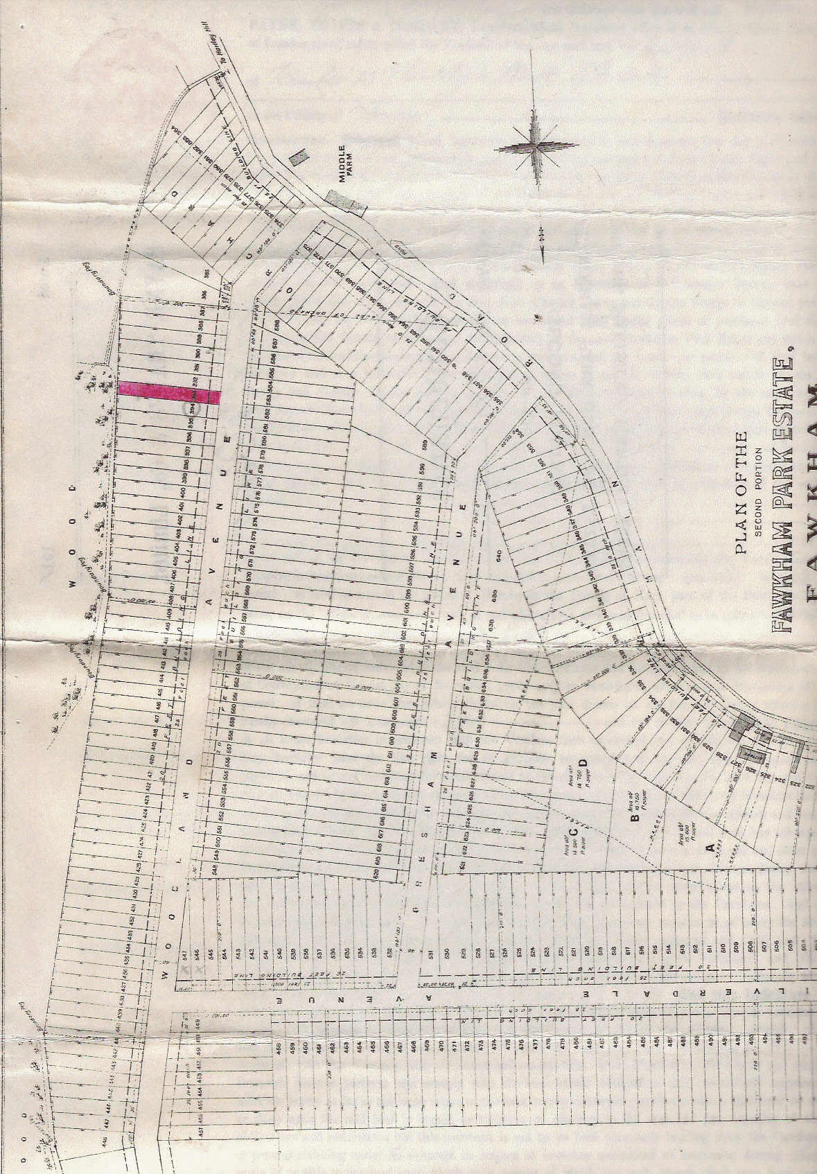
Larksfield, then called Silverdale Avenue, was part of a large field purchased and laid out in building plots by Payne and Trapps Co Limited in 1907 (for further details see the article on Payne and Trapps, and a map of Larksfield in 1907).

The road remained a ghostly outline in an area called Strawberry Valley by the locals, until the second world war, when it was taken over by the War Agricultural Executive to grow wheat and potatoes.  Development began in the 1950s with first the (then) council houses at the Ash Road end, and then piecemeal private development of the remainder of the road.  One semi-detached bungalow sold for £2,250 in 1958.  Compulsory purchase had been used by Dartford Rural District Council for the council housing, and later for part of the remainder of the road, where the ownership was unknown, by the Land Commission in 1966.

Links
Profile of north side of road / south side of road on www.upmystreet.co.uk
House Prices at Nethouseprices.com

Houses and approximate dates of construction

House

Date

Notes

North Side


Ash Road


1

1951


3

1951


5

1951


7

1951


9

1951


11

1951


Larkwell Lane


Alexine

1958


Grasmere

1958


Silverdale

1958


Colwyn

1958


Wyndham Ridge

1971


High Winds

1971


Ridgemount

1971


Arden

1971


Brampton

1971


Arran

1971


Redmynes

1971


Kingsclere

1958

Planning permission 57/21

Loreto

1958

Planning permission 57/21

Reod-leah

1958

Formerly called Mallorca.  Planning permission 57/21

Thirsdey

1958

Planning permission 57/21

Puckharber

1958

Formerly called Clairvaux.  Planning permission 57/21

Karmar

1961

Planning permission 57/21

Coverack

1961


Dehra Down

1965


Pencarrow

1972

Formerly called Seaview

Alricia

1972


Plaisance

1972


Carinya

1972


Trelowarren

1972


Lyndhurst

1972


Allotments


Woodland Avenue


South Side


Ash Road


2

1966

Formerly called Uplands

4, Stirlings

1958

Formerly called Rhiannon; planning permission 58/23

6, Ripponlea

1958

planning permission 58/23

Reed Ling

1958

planning permission 58/23

Rosemary

1958

planning permission 58/23

Cotswold

1958

planning permission 58/23

Borada

1958

formerly called Milano; planning permission 58/23

Trearnan

1958

planning permission 58/23

Mahdi

1958

planning permission 58/23

Briggstowe

1959


Everleigh

1960

planning permission 58/170

Lomea

1960

planning permission 58/170

Lucford

1958


En Rapport

1958


Sheldon

1960

Formerly called Laurie; planning permission 59/329

St Margarets

1960

planning permission 59/329

Deltone

1960


Greenways

1960


Petann

1965


The Jays

1956


Woodley

1956

Formerly called Denbysjoy

Gresham Avenue


Kristeron

1957


Lynwood

1956


Chyanic

1956


Highlands

1956


South Riding

1956


Ross

1956


High Ridge

1956


Chevalier

1967


Woodlands Avenue