Gallery
Click on image for larger picture
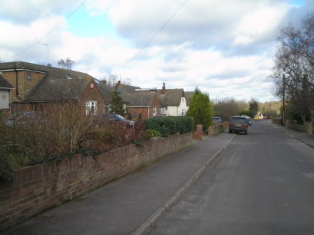
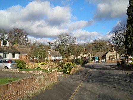
Near
Manor Drive Entrance
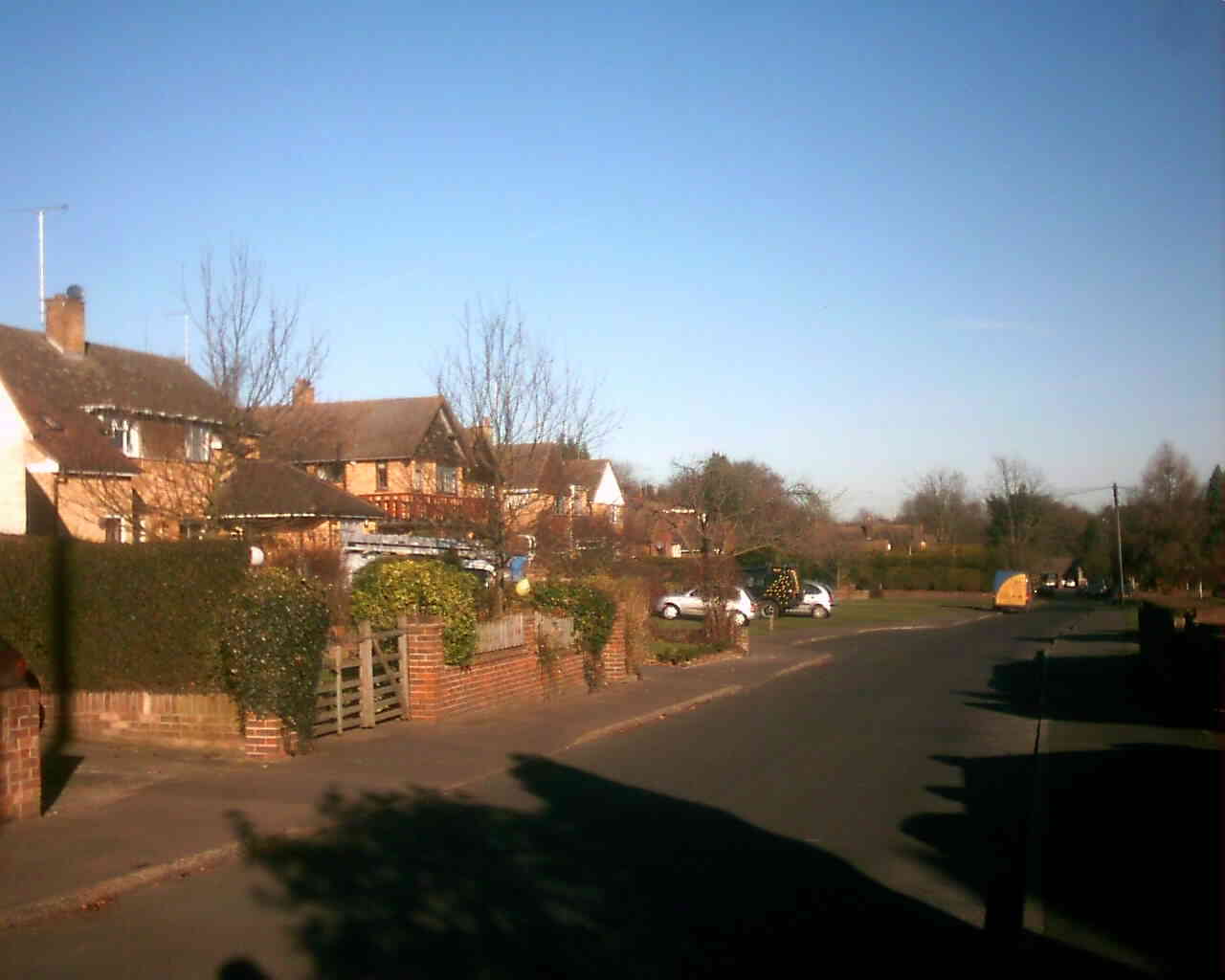
Middle
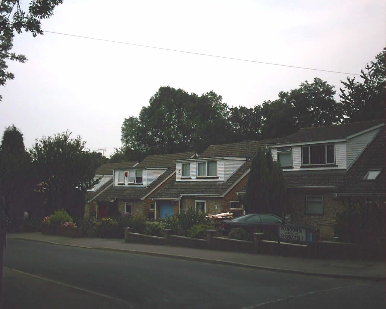
west side
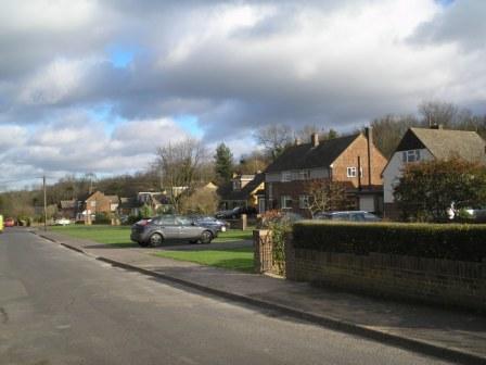
Middle
east side
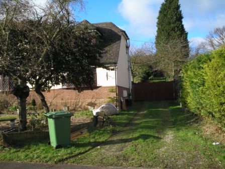
Remains
of road by no.47
Turning
circle at end
Manor
View
| Postcode Council Tax KCC Road Number: Housing density |
Springcroft's 68 properties are built on 12¾ acres of land and are a mixture of semi-detached houses and bungalows, numbered 1-65 odd and 4-72 even. Being Hartley's longest cul-de-sac it is a pleasant and quiet road with an attractive green verge on both sides of the road in the middle. It is at the bottom of a dry valley which runs up to Stocks Hill, which means people's gardens slope upwards and does cause problems with surface water run off from the valley sides of Manor Drive, which the council are currently trying to solve. It was not intended originally to be a cul-de-sac; plans at Sevenoaks council from 1955 show the accommodation drive between 45 and 47 was planned to link into Gorse Way. This was dropped at the insistence of the Parish Council, who pointed out that the narrow, dangerous access from Gorse Way to Church Road did not need any more traffic.
The road was built on two smallholdings - most of the land behind Fairhaven and Brambledown, as well as an unbuilt on plot next to Chatenay. Brambledown was also called "Hartley Poultry Farm" and was run in the 1920s by a Mr Davis. Lydia Sparkes bought part of the land in 1950 (probably the plot between Brambledown and Chatenay). In 1954 she applied for and got planning permission (ref 54/176) for residential development here. In some ways it is surprising permission was given, as this land was not in the council's development area, and it was certainly used a precedent by other would-be developers outside the centre of the village. The Parish Council did not object to the principle, but didn't like the "street like appearance", nor, as we have seen, the access to Briars Way.
She and W.A. Stevenson, who owned another part of the site, then sold to a Gravesend building firm R.E.Jury and Co in November 1955. They had already applied for and got detailed planning permission (55/263) and by 1956 were selling the houses. One house fetched £2,375, but in this case all the purchase money went to the RE Jury & Co's mortgage company! In 2005 the same house was sold again - this time for £390,000.
Springcroft road is adopted by the council, but adjoining Manor Drive is not. So in 1964 the residents of Springcroft, Berrylands and Manor Drive metalled the road between Springcroft and Church Road themselves (Gravesend Reporter 24.4.1964). The sleeping policemen were added later.
In the 1950s the land at the entrance to Springcroft was left undeveloped. At the time it looked like they envisaged building just one house here later (Springcroft has no number 2). This was filled in when the 4 houses of Manor View were built in 1970 (numbered 1-5 odd, and 2 even). It was given a separate name to avoid having to renumber Springcroft.
Links
Map
of road at Multimap.co.uk (also includes link to aerial photo)
Profiles
of Springcroft (odd)
(even),
and Manor
View on www.upmystreet.co.uk
House Prices at Nethouseprices.com