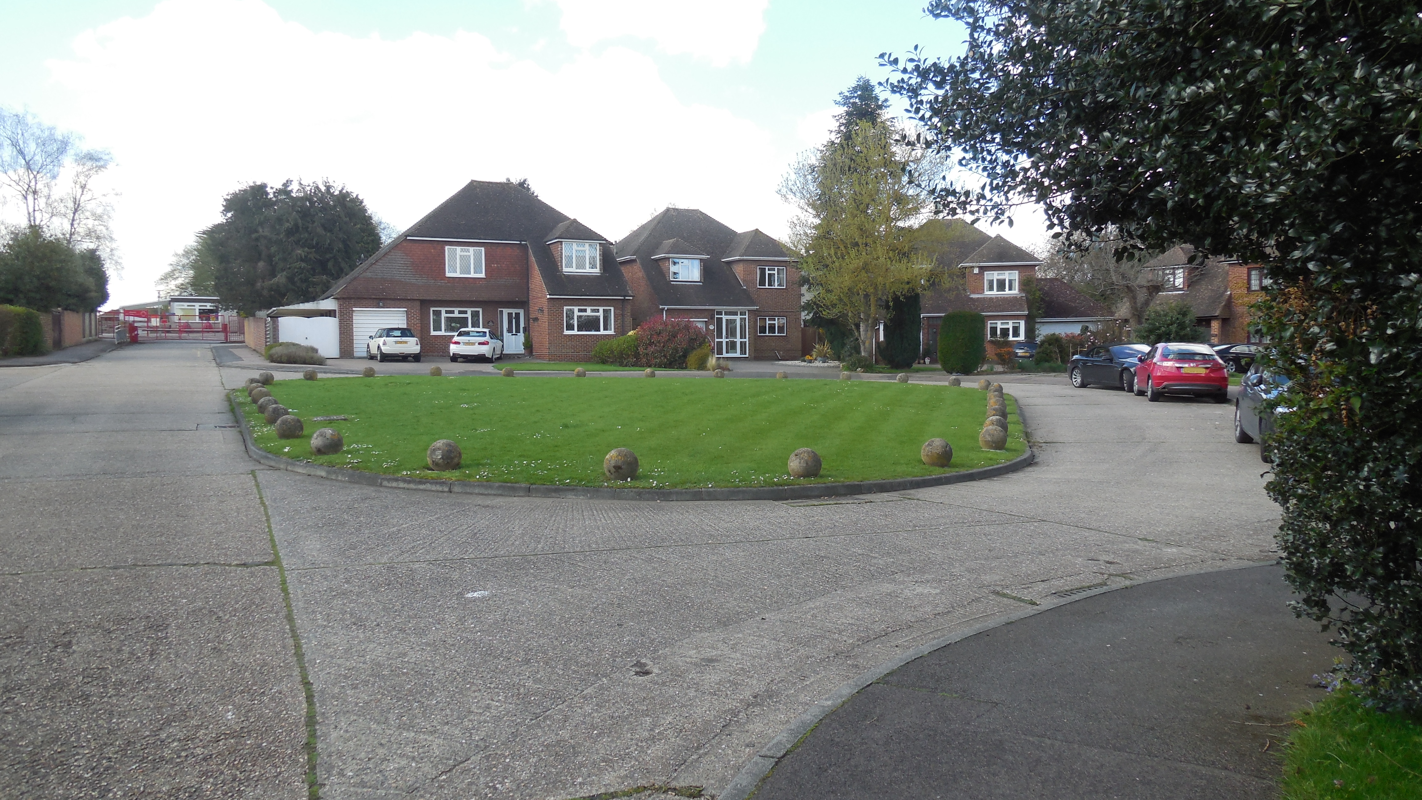
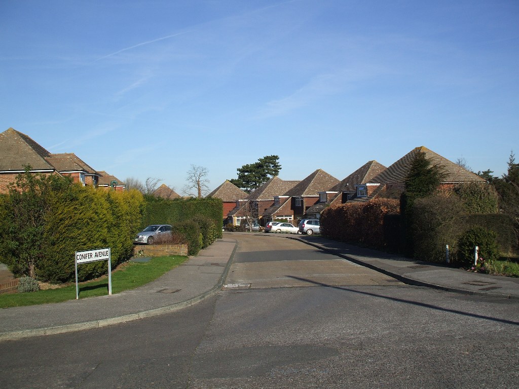
1 Conifer Avenue DA3 8BX
2024 Detached House (4 bedroom, 147.2 sq m)
Former Name(s): Four Ways (to 1968)
1968 First Built. Detached House
1972 Gross Rateable Value: £469
1993 Council Tax: F (£120-160K)
2012 Sale Price: £350000 (9 Mar 2012)
2024 Sale Price: £690000 (5 Dec 2024) Advertised price Annual percentage change since 2012: +5%
1604 Part of Fairby Farm - Plotfield (7 acres)
1648 Part of Fairby Farm - Seven Acres (7 acres)
1844 Part of Fairby Farm - Lower Meadow (3¼ acres)
3 Conifer Avenue DA3 8BX
2015 Detached House (4 bedroom, 142 sq m including garage)
Former Name(s): Amberley (to 1968)
1972 Gross Rateable Value: £457
1993 Council Tax: F (£120-160K)
2015 Sale Price: £495000 (16 Sep 2015) Advertised at £550,000
1604 Part of Fairby Farm - Great Nutfield
1844 Part of Fairby Farm - Orchard (1½ acres)
5 Conifer Avenue DA3 8BX
2016 Detached House (4 bedroom)
Former Name(s): The Beild (to 1974)
1972 Gross Rateable Value: £457
1993 Council Tax: F (£120-160K) Formerly band G.
2010 Sale Price: £430000 (18 Feb 2010)
2016 Sale Price: £500000 (19 Jul 2016) Advertised at £509,995. Previously marketed 8/11/14 for £470,000, and 29/9/15 for £530,000 Annual percentage change since 2010: +2%
1604 Part of Fairby Farm - Great Nutfield
1844 Part of Fairby Farm - Orchard (1½ acres)
7 Conifer Avenue DA3 8BX
Former Name(s): Nova (to 1968)
2001 Planning Application: (GRANTED) 2001/617 First floor rear extension
1972 Gross Rateable Value: £457
1993 Council Tax: F (£120-160K) Formerly band G. With improvement indicator (2025)
1604 Part of Fairby Farm - Great Nutfield
1844 Part of Fairby Farm - Cherry Orchard (2½ acres)
9 Conifer Avenue DA3 8BX
Former Name(s): White Wings (to 1968)
1972 Gross Rateable Value: £457
1993 Council Tax: F (£120-160K) With improvement indicator (2025)
1976 Sale Price: £27000 (17 Dec 1976)
1983 Sale Price: £63000 (9 Jun 1983) Annual percentage change since 1976: +14%
2001 Sale Price: £275000 (21 Sep 2001) Annual percentage change since 1983: +8%
2007 Sale Price: £465000 (6 Nov 2007) Annual percentage change since 2001: +9%
1604 Part of Fairby Farm - Great Nutfield
1844 Part of Fairby Farm - Cherry Orchard (2½ acres)
11 Conifer Avenue DA3 8BX
Detached House (4 bedroom - 1979)
Former Name(s): Utne (to 1968)
1972 Gross Rateable Value: £457
1993 Council Tax: F (£120-160K)
1980 Sale Price: £58000 (14 Oct 1980) Advertised price (Evening Standard) (2/11/79 - £56,000 Maidstone Telegraph)
1604 Part of Fairby Farm - Great Nutfield
1844 Part of Fairby Farm - Cherry Orchard (2½ acres)
13 Conifer Avenue DA3 8BX
2024 Detached House (4 bedroom, 148.8 sq m + garage 14.7 sq m)
Former Name(s): Drybeck (Plot 28) (to 1968)
1969 Planning Application: (GRANTED) 1969/243 Erect garage and covered way
1972 Gross Rateable Value: £457
1993 Council Tax: F (£120-160K)
1968 Sale Price: £7850 (24 Jul 1968)
1997 Sale Price: £165000 (9 May 1997) Annual percentage change since 1968: +11%
2006 Sale Price: £370000 (31 Aug 2006) Annual percentage change since 1997: +9%
2011 Sale Price: £395000 (1 Dec 2011) Annual percentage change since 2006: +1%
1604 Part of Fairby Farm - Great Nutfield
1844 Part of Fairby Farm - Cherry Orchard (2½ acres)